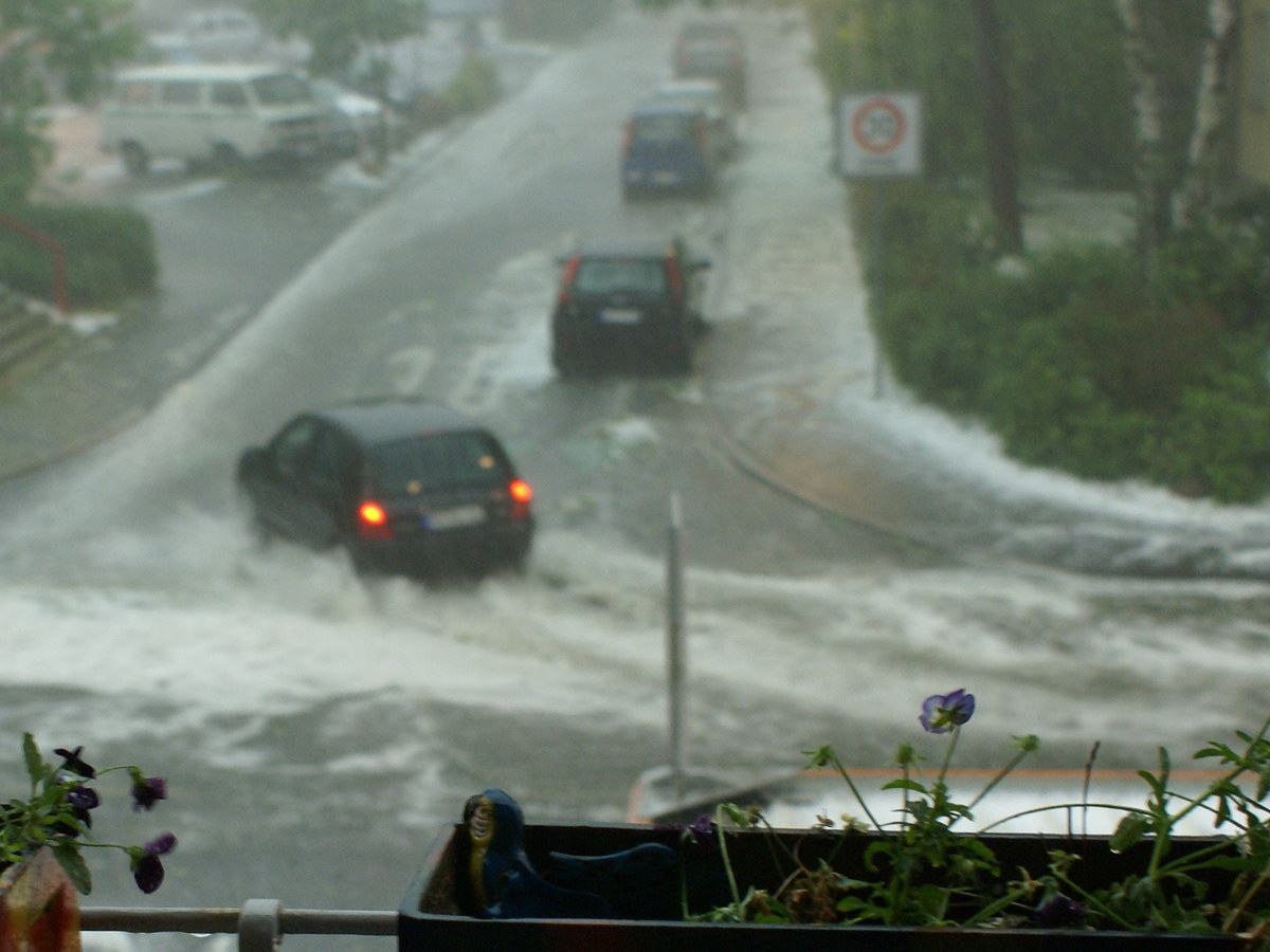
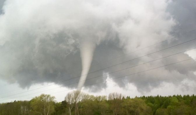
Very hot here with not a breath of wind but looks like we are in for it. Hope no tornadoes in this mix. Weird bloody weather.
A strong low pressure system is forecast to develop by Tuesday evening west of Edmonton near the BC border. This low will then move east-southeast through the province. As it does so, a big change in the weather is expected to occur.
An area of rain will move into west-central parts of the province on Tuesday night, into the Capital Region by Wednesday morning, and to the Saskatchewan border by Wednesday evening. The heaviest rain will extend from Hinton and Grande Prairie eastward to Edmonton, Cold Lake and Lloydminster. Current indications are that rainfall amounts will be in the 30 to 40 mm range, but some areas of 50 to 75 mm are possible, especially with any thunderstorms embedded in the rain.
In addition, higher elevations of the foothills and mountain parks to the west of Edmonton and Calgary may see the precipitation change over to snow Wednesday morning. Current indications are that some parts of these regions may receive in excess of 10 cm of snow.
Finally, this system will bring strong winds to much of the province. Winds during the day on Wednesday will be from the north at 50 to 60 km/h with gusts as high as 80 km/h. A few gusts over the warning threshold of 90 km/h are possible, but it is too early to determine where these gusts will occur.
Please continue to monitor alerts and forecasts issued by Environment Canada. To report severe weather, send an email to ec.storm.ec@canada.ca or tweet reports using #ABStorm.
- City of Edmonton - St. Albert - Sherwood Park
A strong low pressure system is forecast to develop by Tuesday evening west of Edmonton near the BC border. This low will then move east-southeast through the province. As it does so, a big change in the weather is expected to occur.
An area of rain will move into west-central parts of the province on Tuesday night, into the Capital Region by Wednesday morning, and to the Saskatchewan border by Wednesday evening. The heaviest rain will extend from Hinton and Grande Prairie eastward to Edmonton, Cold Lake and Lloydminster. Current indications are that rainfall amounts will be in the 30 to 40 mm range, but some areas of 50 to 75 mm are possible, especially with any thunderstorms embedded in the rain.
In addition, higher elevations of the foothills and mountain parks to the west of Edmonton and Calgary may see the precipitation change over to snow Wednesday morning. Current indications are that some parts of these regions may receive in excess of 10 cm of snow.
Finally, this system will bring strong winds to much of the province. Winds during the day on Wednesday will be from the north at 50 to 60 km/h with gusts as high as 80 km/h. A few gusts over the warning threshold of 90 km/h are possible, but it is too early to determine where these gusts will occur.
Please continue to monitor alerts and forecasts issued by Environment Canada. To report severe weather, send an email to ec.storm.ec@canada.ca or tweet reports using #ABStorm.

![20170524_200018[1].jpg](https://stephenking.com/xf/data/attachments/21/21206-4d28953bb901c6f3591fc493959cd726.jpg "20170524_200018[1].jpg")
![20170524_201628[1].jpg](https://stephenking.com/xf/data/attachments/21/21207-bfe5cd29451f8292c73340d7604b85dd.jpg "20170524_201628[1].jpg")
.jpg")